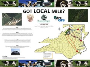
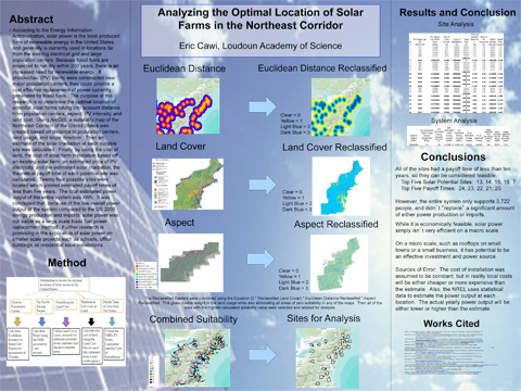
Take the workshop. Learn the tools. Apply them to your teaching. Pacific University’s Geospatial Technology Workshop For Teachers is 2 semester credits taught by leading educators in the exciting world of geospatial technology. Geospatial technology is a field that involves the collection and analysis of geographic data. The tools used in this field include geographic information systems (GIS), the global positioning system (GPS), and remote sensing. With these tools, teachers and students can capture, store, analyze, and display a vast array of data. See more about the course at http://bit.ly/UE75r8.

The Pacific University Geospatial Workshop prepares you to teach this exciting new course. Currently it is being taught in Oregon as a social studies course. It could also be taught as a science or career/technical education course as it is in the Geospatial Semester (Virginia). For more information about this opportunity for you and/or your district, go here: http://bit.ly/1tR11YP

